
Taking a bus at Gare de Lyon to reach Bastille, then transferring to another bus to Belleville without knowing which stop serves the connection: this is the kind of situation that turns a fifteen-minute trip into a one-hour ordeal. The Paris bus network covers almost all the streets of the capital, but its readability remains a challenge for those who do not master the line numbers and their connection points.
Multiple operators on the Paris bus network: what it changes in daily life
Since the opening up of public transport to competition in Île-de-France, RATP is no longer the only operator of bus lines in Paris and the inner suburbs. Keolis, Transdev, and ATM now operate dozens of lines previously managed exclusively by RATP, which retains about 70% of its bus lines, or 226 lines.
In practice, this is not always noticeable at the stop. The signage remains standardized under the Île-de-France Mobilités banner, and transport tickets (Navigo, ticket) work regardless of the operator. The difference is mainly in real-time passenger information: depending on the operator, the arrival data is updated more or less quickly in third-party applications.
To easily find the bus lines and connections in Paris on a unified map, it’s better to use a consolidated map rather than the site of a single transport provider. This is the most reliable way to visualize connections between buses, metro, RER, and tram without juggling between multiple sources.
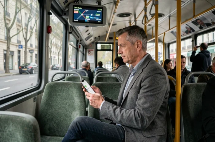
Bus-metro-tramway connections: identifying useful hubs
Not all bus stops are equal when looking for a connection. Some hubs concentrate several bus lines, one or two metro lines, and sometimes a tramway. Other stops, even those located near a metro station, offer no direct connection because the bus stop is offset by several hundred meters.
Identifying a connection hub on the map
On the maps of the Île-de-France Mobilités network, multimodal hubs are indicated by overlapping pictograms (bus, metro, tramway, RER). Three reflexes can save time:
- Check that the bus stop has the same name as the targeted metro or tramway station, as a different name often indicates a geographical offset
- Consult the stop’s information in the Île-de-France Mobilités app to see all the lines that pass through it, including those from a competing operator
- Identify stops served by at least three bus lines, which are generally the most reliable connection points in case of disruption on a line
Concrete case: crossing Paris from east to west without the metro
When metro line 1 is crowded or under construction, you can connect Nation to Étoile by combining two buses. The principle: identify a well-served intermediate stop (République or Opéra, for example) where several lines intersect. Travel time increases, but the bus-bus connection is still covered by a single ticket as long as you do not exceed the validity period between two validations.
Île-de-France Mobilités app and bus route calculation tools
The official Île-de-France Mobilités app aggregates data from all operators in the Île-de-France network. It provides real-time schedules, disruption alerts, and a multimodal route calculator. It remains the most comprehensive source for Parisian buses, where Google Maps or Citymapper may show slight discrepancies in the schedules of certain lines recently transferred to a new operator.
Feedback varies on the accuracy of real-time data depending on the lines and times. During off-peak hours, the estimation is generally reliable. During peak hours, traffic uncertainties make any prediction more random, regardless of the tool used.
Features to utilize for connections
- The “bus only” mode in the route calculator, which forces the display of routes without metro or RER
- The disruption alert by line, configurable to receive a notification before leaving
- The map view with nearby stops, which displays all lines passing within a given radius, regardless of the operator
- The option to download the neighborhood map in PDF for areas where mobile network coverage is weak (tunnels, certain covered stops)
Electric buses and network reliability: a point of vigilance
The Paris bus fleet is undergoing a transition to electric. After the immobilization of 149 Bluebus vehicles following incidents in 2022, RATP revised its maintenance procedures and temporarily reduced the number of vehicles available on certain lines. In total, 232 vehicles were affected by these safety measures.
For users, this resulted in reduced frequencies on a few lines for several months. The situation has since normalized, but such events remind us that the reliability of a bus line also depends on the rolling stock, not just the configuration of the network.
When planning a trip with a connection, allowing a margin of a few minutes at each change remains the most effective precaution. A bus every eight minutes in theory can become a bus every fifteen minutes in case of delays due to traffic or a technical incident. Anticipating this margin helps avoid missing a connection and losing much more time than expected.