When receiving a letter addressed to 75011 or 75116, the last two digits of the postal code directly designate a district. This system, unique to Paris, links each postal code to a specific neighborhood. With the merging of the four central districts in 2020 and the update of the Official Geographic Code on January 1, 2026, by Insee, the layout of the districts of Paris deserves careful review.
Official Geographic Code 2026: What Insee Changed for Paris
Insee references Paris under the municipality code 75056 and the district code 751. This nomenclature, updated on January 1, 2026, serves as the foundation for all official administrative mapping. Each municipal district retains its own Insee code, from 75101 (1st) to 75120 (20th).
You may have noticed that the first four districts each keep their distinct Insee code, even though they form a single administrative entity since 2020? This is because statistical divisions and political divisions do not follow the same logic. Insee maintains historical codes to ensure continuity of demographic and tax data.
Specifically, if you are looking for population statistics or cadastral data, you will still use codes 75101 to 75104 for the former 1st, 2nd, 3rd, and 4th districts. To vote or carry out a procedure at the town hall, it is the Paris Centre town hall that takes over. Finding the complete layout with the associated postal codes is possible on the EpicBuzz website in detail, which outlines the correspondence between each district and its code.

Postal Codes of Paris: The Logic Behind the Numbers
The Paris postal system operates on a simple principle. The prefix 750 is common to the entire city. The next two digits correspond to the district number. The 5th district uses 75005, the 13th uses 75013, the 20th uses 75020.
The 16th district is an exception with two postal codes: 75016 for its southern part (Auteuil, Muette) and 75116 for its northern part (Chaillot, Porte Dauphine). This peculiarity reflects the size and postal density of this district, the largest in Paris after the 12th.
Another special case: Paris Centre groups the codes 75001 to 75004 without merging them. The Post Office did not create a unique code for this entity. A letter addressed to the Marais always carries 75003 or 75004, depending on the street. A shipment to the Halles remains at 75001.
Why Postal Codes Won’t Change Anytime Soon
The postal code is managed by the Post Office, not by the town hall. Therefore, the administrative merger of 2020 had no effect on mail distribution. Changing a postal code involves updating thousands of databases (banks, insurance, tax administration). The cost and complexity of such an operation make any change very unlikely in the short term.
Boundaries of the Districts of Paris: Concrete Landmarks for Orientation
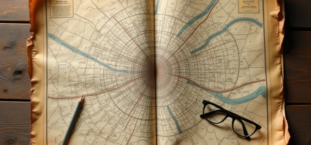
On a map, the districts spiral clockwise from the center. The 1st is located at the heart, near the Louvre. The spiral unfolds towards the east, south, west, and then north, up to the 20th district in the east.
The boundaries between districts follow easily identifiable physical landmarks:
- The Seine separates the right bank (even-numbered districts in the southeast, odd-numbered in the northwest in the center) from the left bank (5th to 7th, 13th to 15th).
- The major boulevards (Haussmann, Sébastopol, Saint-Germain) often serve as borders between two neighboring districts.
- The périphérique boulevard marks the outer limit of all bordering districts, from the 12th to the 20th, passing through the 13th, 14th, and 15th to the south.
Parisian street signs systematically indicate the district number. This is the most reliable way to know where you are, much more so than neighborhood landmarks, which sometimes overlap two districts.
Low Traffic Zone and New Mobility Boundaries in Paris
Since November 5, 2024, Paris has established a Low Traffic Zone (LTZ) in its central districts. This zone prohibits transit traffic, meaning vehicles that pass through the center without stopping.
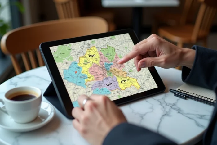
The perimeter of the LTZ does not coincide with the administrative boundaries of the districts. It follows a path defined by road axes and intersections, not by municipal borders. In practice, this creates a new layer of reading of the Paris map: streets located in the same district may have different traffic rules depending on whether they are inside or outside the LTZ.
A district map is no longer sufficient to anticipate car travel. It is necessary to cross-reference the administrative map with the traffic map. On-site signs and GPS applications are gradually integrating this zoning, but the overlap of the two divisions remains a source of confusion for drivers.
Grand Paris: A Future Redistricting of Boundaries?
The High Commissioner for Planning has published a proposal for an ambitious transformation. The idea: to expand the perimeter of the capital by merging neighboring municipalities, which would create a metropolis much larger than the current 20 districts. If this project were to succeed, the traditional spiral map would become just a small part of a larger whole.
For now, no legislative decision has been made. The boundaries of the districts remain those inherited from the historical division, and the 20 municipal districts still constitute the official framework in 2026. However, the reflection on Grand Paris shows that this plan, often perceived as immutable, could evolve in the coming years.
Whether you are looking for a postal code to send a letter, a district boundary for an administrative procedure, or the exact perimeter of the LTZ, the sources to consult are not the same. The Official Geographic Code from Insee remains the reference for statistical data, street signs for navigating on foot, and road signage for traffic. Cross-referencing these three readings provides a complete picture of Paris as it operates in 2026.